 Home › New Zealand › Tongariro
What happens on the 20.2 km one-way Tongariro Alpine Crossing without a shuttle?
The Tongariro Alpine Crossing's real challenge isn't fitness — it's three easily overlooked things. ① One-way + shuttle: it's a roughly 20.2 km one-way route; you can't park at the start and walk back — both ends have a 4-hour parking limit, and in summer the start has no visitor parking at all. DOC says 'the best way is by shuttle'; booking a shuttle also handles the required track booking, so don't plan to drive both ends. ② Weather: this is an exposed alpine trail; even in summer, low temperatures, strong winds, heavy rain, and poor visibility are common, and snow can fall anytime. In summer, officials issue a 'Not Recommended Today' high-risk alert based on NIWA's Red Crater forecast, and shuttle and guide companies cancel accordingly — so even a booked shuttle may be canceled due to weather; keep a backup day to shift to the next day. ③ Season: in summer, fit hikers can go solo; from May to October, winter brings alpine snow conditions requiring crampons, ice axe, and experience, or a guide — and in winter, officials don't issue alerts, so you must judge conditions yourself. Bottom line: book a shuttle (it covers both transport and track booking), pick stable weather days and keep a backup day, go solo in summer but hire a guide in winter, and bring full alpine gear.
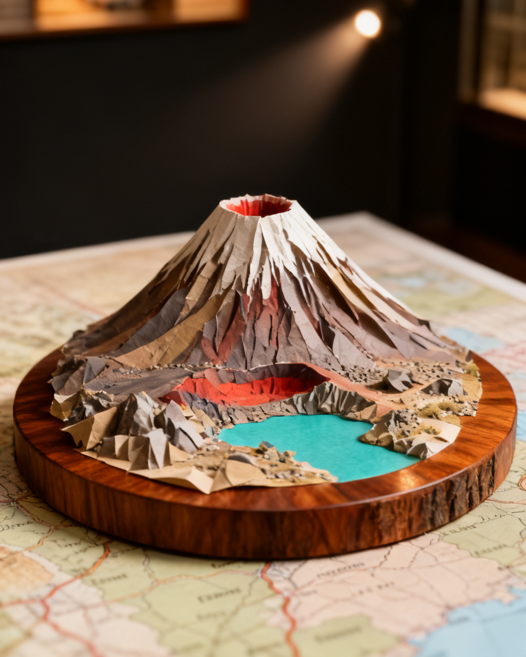
The decision, from above
Priority #1: Book the shuttle — it handles both transport and trail booking, the lifeline of this point-to-point hike
No shuttle = stranded 20 km away at the other end, hike impossible that day
- Anchor
- Tongariro
- First call
- A 20 km one-way trail: why a shuttle is nearly mandatory
Time-sensitive · plan around it
The Tongariro Alpine Crossing's real challenge isn't stamina — it's three easy-to-miss pitfalls. ① One-way + shuttle: It's a 20.2 km point-to-point trail (Mangatepopo start → Ketetahi end); you can't park at the start and walk back — both ends have a 4-hour parking limit, the start has no visitor parking in summer, and DOC explicitly says 'the best way is to take a shuttle'; booking a shuttle also completes the required trail booking, so don't plan to drive both ends. ② Weather: This is an exposed alpine trail; even in summer it's often cold, windy, rainy with poor visibility, and snow can fall anytime; in summer, DOC issues a 'not recommended today' high-risk alert based on the NIWA Red Crater forecast, and shuttles and guiding companies stop simultaneously — so a booked shuttle may be canceled due to weather, requiring a spare day to shift to the next day. ③ Season: Summer (approx. Nov–Apr) is doable solo with enough fitness; winter (May–Oct) is a snowy alpine environment requiring crampons, ice axe, experience, or a guide, and in winter DOC issues no alerts — you must judge yourself. Bottom line: Book the shuttle (solves both transport and trail booking), pick a stable weather day with a spare day, hike solo in summer, hire a guide in winter, and bring full alpine gear.
Three gates: one-way trail forces shuttle (also completes trail booking) + alpine weather triggers 'not recommended' cancellations (keep a spare day) + summer vs winter difficulty differs (winter needs a guide).
A 20 km one-way trail: why a shuttle is nearly mandatory
The Alpine Crossing is about 20.2 km one-way (Mangatepopo start → Ketetahi end); you can't park at the start and walk back; DOC states 'the best way to access the trail is by shuttle'. (doc.govt.nz)
There is a 4-hour parking limit at both ends; in summer, the Mangatepopo start has no visitor parking at all. Shuttles depart from surrounding towns, and when using shuttle or guide services, the required track booking is arranged by the operator. (doc.govt.nz)
| Getting to the track | How it works | Risk | Best for | Recommended? |
|---|---|---|---|---|
| Shuttlefrom nearby towns Official pickIncludes track booking One-way track + no parking at the start: the shuttle is DOC's recommended way, solving transport and the track booking at once | Almost every walker | Drops you at the start, picks you up at the end, and handles the required track booking | Per trip | Find shuttle / guided trips → |
| Park at one end and walk backpark & return Doesn't work | — (impossible on a one-way track) | It's one-way: park at the start and you finish 20 km from your car; in summer the start has no parking anyway | Not viable | |
| Two-car shuffle / a friend's pickupcar shuffle Needs two cars | Those with two cars or someone to drop/collect them | One car at each end works, but it's faff and limited by the parking caps | Two cars |
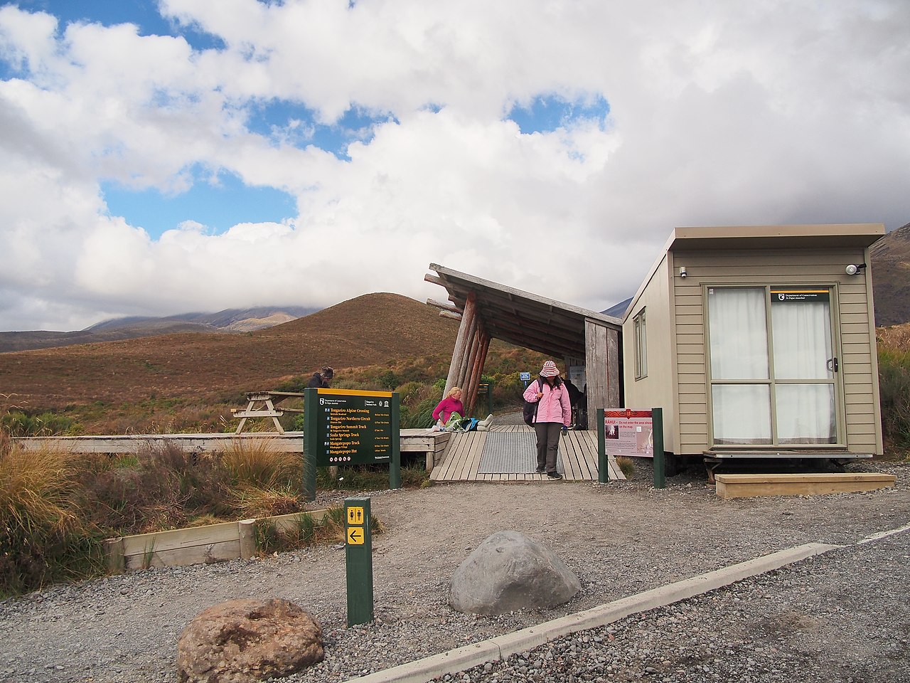
To hike or not today: alpine weather and the official 'not recommended' alert
In summer, the official authority issues high-risk warnings such as 'Not Recommended Today' based on forecasts (e.g., 10mm rainfall in six hours). Shuttle and guide companies receive these alerts simultaneously and may cancel operations—so even if you have booked a shuttle, it could be cancelled on the day due to weather. (doc.govt.nz)
This is an exposed alpine track: even in summer, low temperatures, strong winds, heavy rain, and low visibility are common, and snow can fall in any season. Always check the NIWA Red Crater weather forecast before departure. (weather.niwa.co.nz)
| Handling the weather | What you do | Risk | Best for | Recommended? |
|---|---|---|---|---|
| Check the NIWA forecast + keep a spare dayforecast + spare day Safest Alpine weather turns fast and triggers shuttle cancellations: check the NIWA forecast and keep a spare day so a cancelled day can move to the next | Those who want it to actually happen | Read the Red Crater forecast before you go; if it's 'Not Recommended Today', switch to your spare day | Keep 1 spare day | |
| Walk on your fixed day, no forecast checkfixed day Gambling on weather | — (not advised) | A hazard advisory cancels shuttles; you may lose the whole trip or push on dangerously | High risk | |
| Decide only on the dayday-of only Flexible but reactive | Those with a totally flexible plan | Check the forecast on the day, but peak-season same-day shuttle seats are hard to get | Seats scarce |
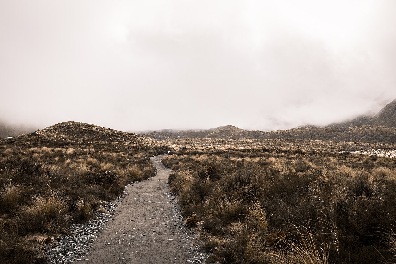
Summer solo, winter guided: season defines difficulty
In summer (approximately November to April), fit hikers can complete the route independently; from May to October, winter conditions involve alpine snowlines requiring crampons, ice axes, experience, or a guide. In winter, the official authority does not issue weather warnings, so you must assess conditions yourself. (doc.govt.nz)
The trail crosses exposed alpine terrain and often encounters severe weather; officials do not recommend it for children under 10; do not underestimate the difficulty of this trail. (doc.govt.nz)
| Season | Difficulty | What you need | Best for | Recommended? |
|---|---|---|---|---|
| Summer (~Nov–Apr)summer Walk it yourself Want to walk it yourself and safely: choose summer — the track is walkable and the official advisory backs you up; just bring full alpine gear | Reasonably fit day-hikers | Track open with the 'Not Recommended Today' advisory as a backstop; fit walkers can do it solo | Standard alpine gear | |
| Winter (May–Oct) with a guidewinter guided Needs snow skills | Those wanting winter but without snow experience | Snowline alpine terrain; ice axe and crampons needed — go with a guide if inexperienced | Guide + snow gear | Find shuttle / guided trips → |
| Winter alonewinter DIY Dangerous | — (not advised without experience) | No official advisory in winter; snow/ice/avalanche risk, entirely your own responsibility | High risk |
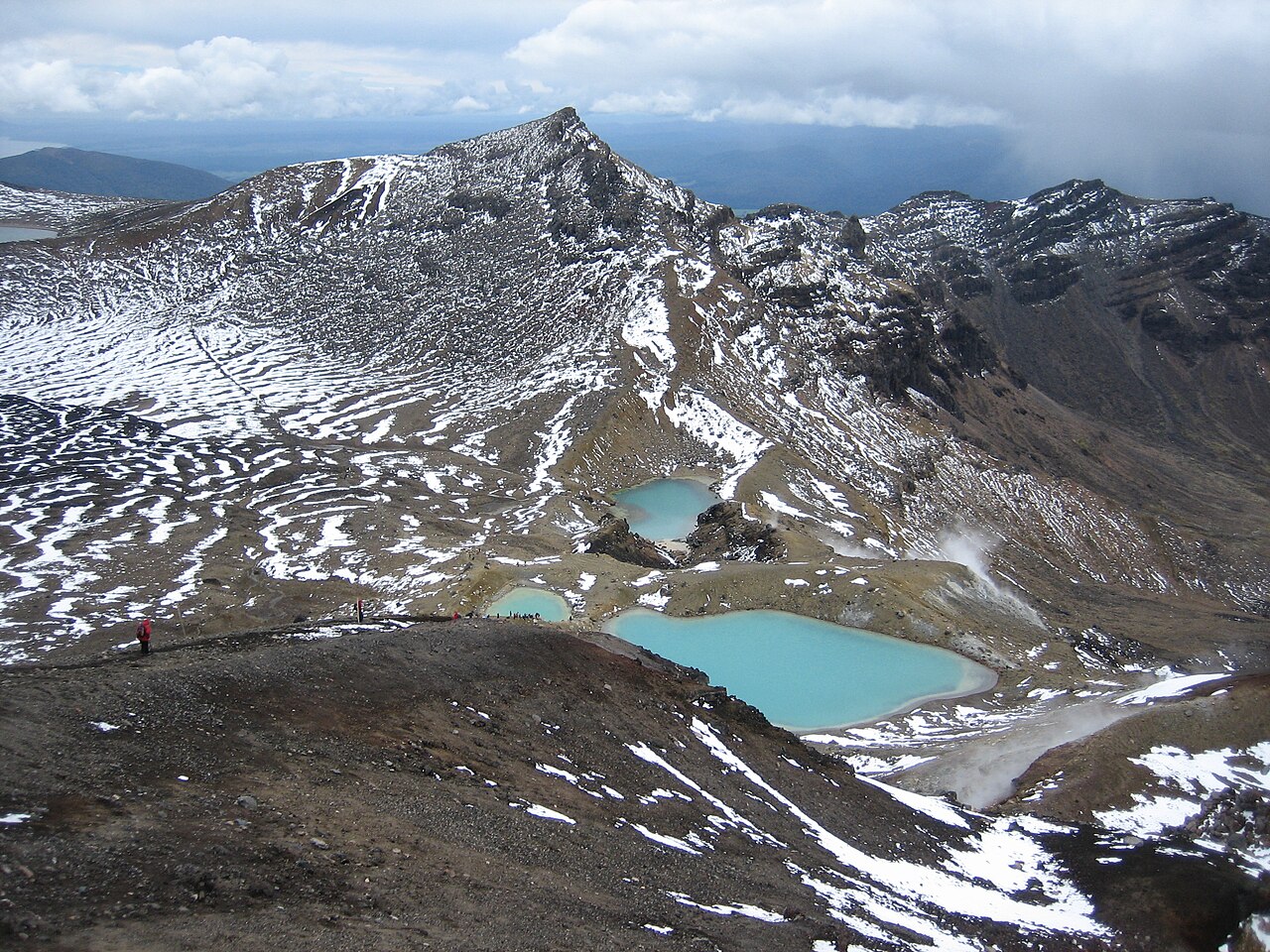
Our pick
Check shuttle/guide itineraries — for Summer solo, winter guided: season defines difficulty
getyourguide
Everything you'll book
Which side to stay
Live price-comparison map by Stay22; we may earn a commission at no cost to you.
FAQ
How far in advance should I book a shuttle for the Tongariro Alpine Crossing?
Book as early as possible; spots are tight in peak season. The shuttle also handles the track booking, and if the official 'Not Recommended Today' high-risk alert is issued in summer, shuttles may be canceled, so keep a backup day to shift to the next day. Source: doc.govt.nz
What time does the Tongariro Alpine Crossing close?
Both ends of the trail have a 4-hour parking limit, but the trail itself has no fixed closing time. However, in summer, officials issue a 'Not Recommended Today' alert based on NIWA's Red Crater forecast, and shuttles cancel accordingly, so always check the forecast before setting out — don't go if conditions are bad. Source: doc.govt.nz
Do I need a guide for the Tongariro Alpine Crossing in winter?
In winter (approximately May–October) it is an alpine snowline environment requiring crampons, ice axe, and experience, or a guide. The official authority does not issue weather warnings in winter; you must assess conditions yourself. In summer (approximately November–April), if you have sufficient fitness, you can hike independently. Source: doc.govt.nz
Stay ahead of the window
Get an alert for your exact date.
Booking-window + conditions alerts for what you're deciding. Unsubscribe anytime.
Some links are affiliate links; we may earn a commission at no cost to you.